
What Really Happened? We are not supposed to know
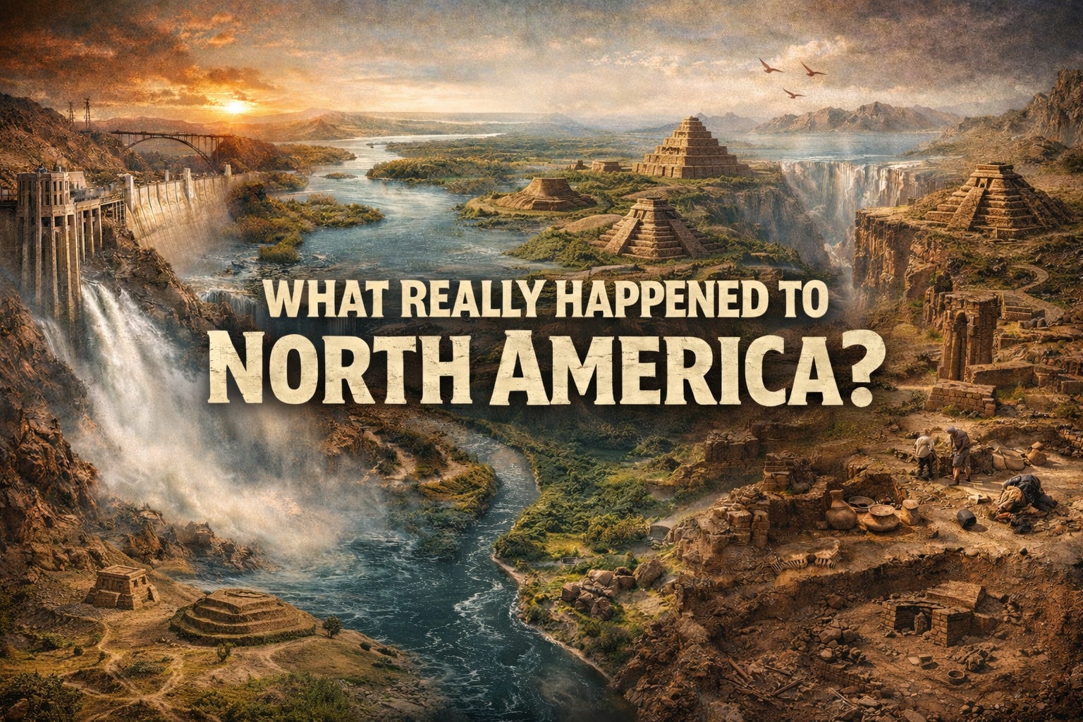
Across the American West, the landscape tells a story of water on a scale that feels almost unimaginable today. Vast basins, dry inland sea floors, terraced shorelines etched into mountainsides, and thick sediment deposits point to enormous water systems that once dominated the region. Yet the prevailing explanations often compress this history into tidy narratives of gradual evaporation, glacial retreat, and slow climate shifts. At the same time, there are recurring references to catastrophic flooding, rapid sedimentation (some might call it the mudfloods), and major hydrological redirection, alongside evolving historical maps and shifting interpretations of the past. When you move through these states and see the terrain firsthand, the magnitude of what once existed does not always seem to align neatly with simplified accounts.

Before even naming specific lakes, it is worth pausing on a broader question: how certain are we that we fully understand what shaped the water systems of the West, and how much of that history has been filtered through changing narratives and modern water management priorities? When you look at old maps, the story they tell does not line up with what is physically there. Once you start looking past the official story, it becomes hard to ignore how many pieces of our history and its timelines simply do not line up in any coherent way. And can we believe that these things are from a “natural” origin????
Maps from the 1600s, 1700s, and 1800s show bodies of water that stretch across valleys, connected in ways that make modern rivers and the Colorado River look small by comparison.
")
.jpg)


Comments